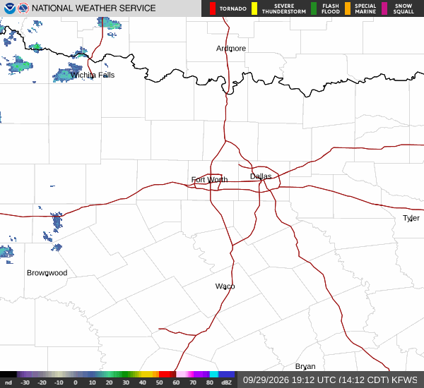
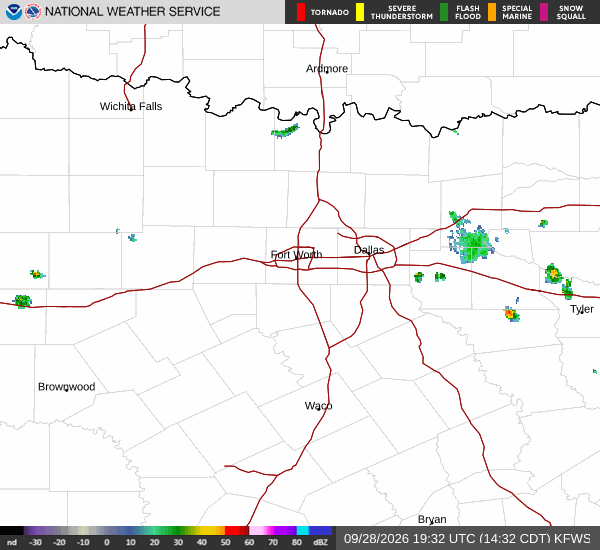
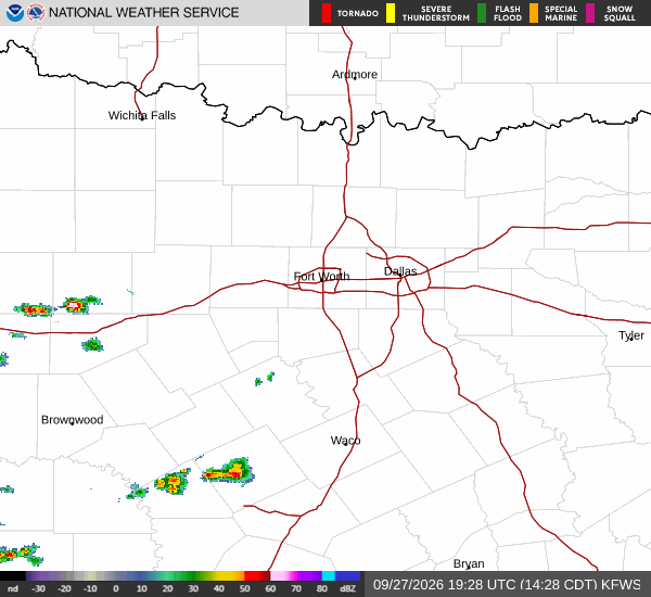
McKinney residents can use the hours before Wednesday afternoon's flood watch to check the routes they rely on and locate the city's roadway-flooding information. The National Weather Service has extended the watch through Friday morning.
The watch covers Collin County from 4 p.m. Wednesday, Sept. 30, until 7 a.m. Friday, Oct. 2, according to the Fort Worth forecast office's 2:15 p.m. Sept. 29 update. All times are Central Daylight Time. Forecasters expect slow-moving showers and storms to bring 2 to 4 inches of rain across the watch area, with some locations receiving 4 to 6 inches.
McKinney's early-warning system includes monitoring around Wilson Creek. The city says its flood-warning coverage includes historically flood-prone areas at Valley Creek Trail, Park View Avenue and U.S. 75 near Towne Lake Park. Those locations describe where the system operates; they are not a list of roads or trails confirmed flooded during this event.
The system uses a master water-depth monitoring site and five flashers. When water reaches a set threshold, the flashers activate and city staff receive notices about water levels, according to the city's Early Warning Systems page.
For changing conditions, the city's severe-weather page links directly to both McKinney and regional roadway-flooding status resources. Check those resources before traveling, and follow barriers and instructions at the road itself. A familiar route is not safe to cross simply because it has been passable during earlier storms.
The National Weather Service warns that runoff could affect creeks, streams and other low-lying places, including low-water crossings. A flood watch means flooding is possible; residents should remain alert for later warnings and be prepared to act if conditions worsen.