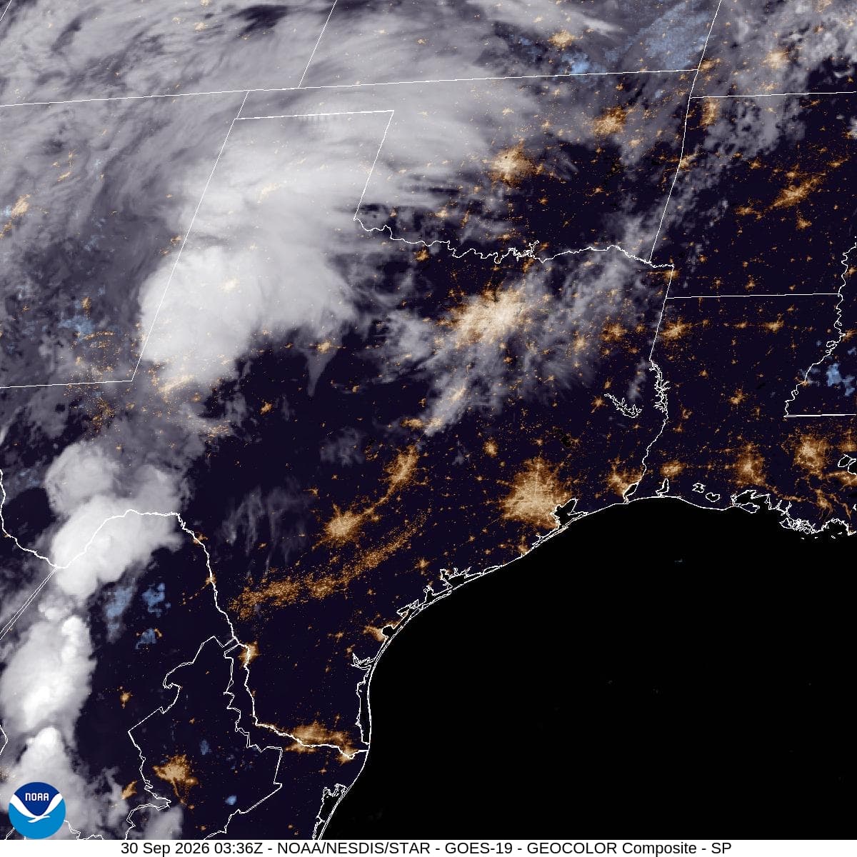
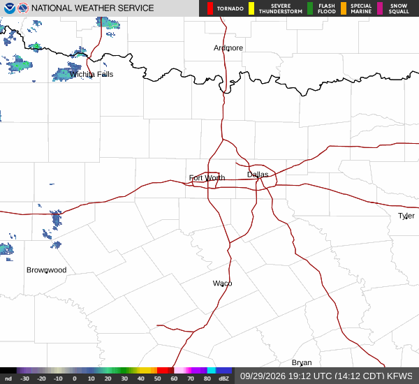
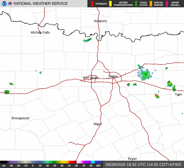
McKinney’s Thursday drive could coincide with a wetter stretch of weather as a slow-moving line of storms works east across North Texas overnight. Wednesday morning’s forecast calls for the flood threat to persist into Thursday.
Wednesday morning’s National Weather Service update puts the greatest early flood risk in western North Texas this evening, shifting toward the Interstate 35 corridor overnight and early Thursday. McKinney lies farther east; the regional forecast does not establish an exact arrival time for the city.
Collin County remains in a Flood Watch scheduled from 4 p.m. Wednesday, Sept. 30, until 7 a.m. Friday, Oct. 2. The 4:40 a.m. Wednesday update calls for 2–4 inches across the watch area, with localized totals of 5–7 inches possible. Those higher amounts are a possibility in some locations, not a prediction for every McKinney neighborhood. All times are CDT.
The watch window has not changed since Tuesday’s report. The newer forecast’s higher localized rainfall estimate and overnight timing make Thursday travel worth planning now. Check current alerts before leaving, allow time to change routes and never drive into water covering a road.
A watch means flooding is possible. Keep weather alerts enabled overnight, and follow any later warnings or local barriers. Rain may become less widespread Thursday night, but additional downpours could still flood places already soaked.