McKinney

McKinneyWeekly.news — Historic charm. News from McKinney's neighborhoods.

Back to Weather

5-day forecast / McKinney, TX

WednesdayScattered Showers And Thunderstorms94° / 72° 30%
ThursdayShowers And Thunderstorms81° / 69° 81%
FridayScattered Showers And Thunderstorms81° / 66° 53%
SaturdayScattered Showers And Thunderstorms79° / 65° 53%
SundayChance Rain Showers81° / 63° 29%

McKinney Weather: Flood Watch Active Amid Hot, Humid Afternoon and Heavy Rain - Sep 30, 2 PM

McKinney weather, updated every four hours — local forecasts you can trust.

A severe Flood Watch is in effect for McKinney. Current conditions are hot and humid with strong winds. Expect scattered storms today and heavy rainfall tomorrow, with potential for significant flooding.

Cody Esparza

September 30, 20262 min read

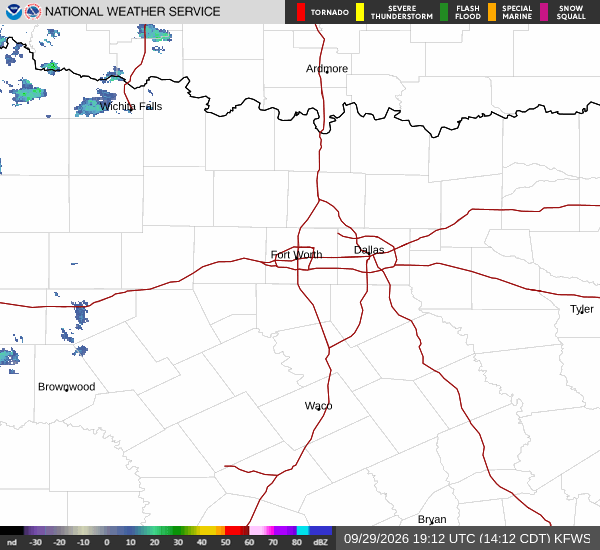
National Weather Service radar for North Texas (KFWS)

*As of Sep 30, 2 PM local time.*

Severe Flood Watch and Current Conditions

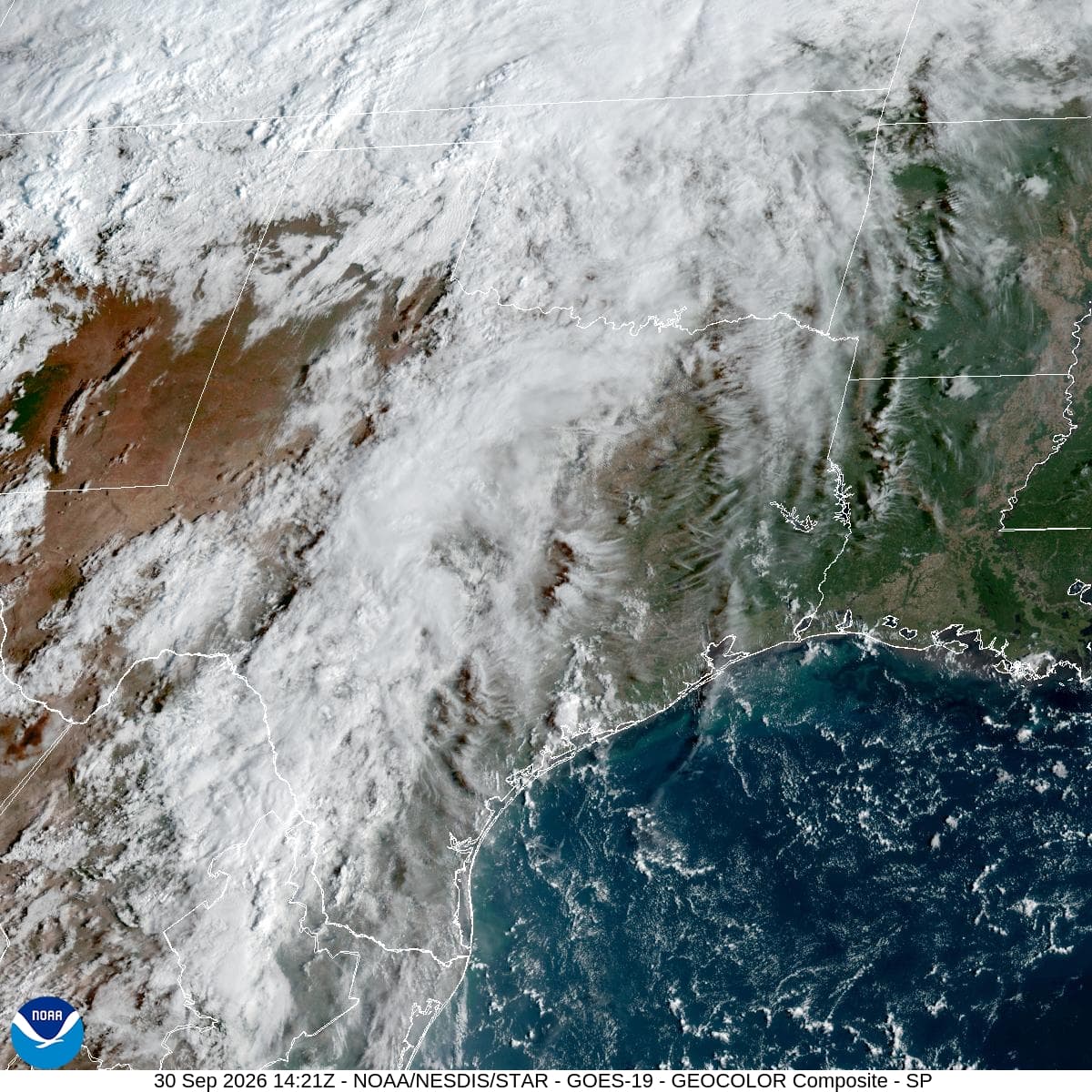
A severe Flood Watch is currently active for the McKinney area, issued by the National Weather Service in Fort Worth. This alert remains in effect until early tomorrow morning. Residents should be prepared for the possibility of significant flooding due to heavy rainfall expected in the coming hours.

Currently, it is Wednesday afternoon, and conditions are notably hot and humid. The air temperature stands at 90 degrees Fahrenheit, but the heat index makes it feel like 96 degrees. Relative humidity is at 56 percent, with a dew point of 72 degrees, contributing to the muggy atmosphere.

Winds are blowing from the south at 21 miles per hour, with gusts reaching 29 miles per hour. The sky is mostly cloudy, and the wind is a prominent feature of the current weather pattern.

Today’s Forecast and Tonight’s Outlook

Today, the high temperature will reach near 94 degrees Fahrenheit, with a low near 72 degrees. There is a 30 percent chance of precipitation, with isolated rain showers expected before 4 p.m. and scattered showers and thunderstorms developing later in the day. New rainfall amounts between a tenth and a quarter of an inch are possible.

Tonight, the situation becomes more significant. Scattered showers and thunderstorms are expected before 1 a.m., transitioning to more widespread showers and thunderstorms. The low temperature will be around 72 degrees, though it may rise to 74 degrees overnight.

The chance of precipitation increases to 80 percent, with new rainfall amounts between three-quarters and one inch possible. Winds will shift to 10 to 15 miles per hour with gusts up to 25 miles per hour.
Tomorrow’s Outlook and Safety Reminders

Tomorrow will bring continued storm activity. Showers and thunderstorms are expected before 4 p.m., followed by scattered storms. The high temperature will drop to near 81 degrees, with a low near 69 degrees.

The chance of precipitation is 80 percent, with rainfall amounts between one and two inches possible. This significant rainfall, combined with the active Flood Watch, underscores the need for caution. Given the current heat and humidity, it is important to stay hydrated and limit midday exertion.

As storms approach, monitor local updates and be prepared for potential flooding. Check on neighbors and ensure you have a plan for staying safe during severe weather events.

National Weather Service radar for North Texas (KFWS)

Sources

National Weather Service radar

National Weather Service forecast data

Open-Meteo weather data

Share

Cody Esparza

Cody Esparza covers McKinney city hall, the council, and county government.

Related Stories

More in Sport

Sport

Cooper Flagg could use a few easier baskets

Dallas can help Cooper Flagg develop his offense by creating more transition chances and selective offensive rebounds, while keeping the defensive cost of those pursuits under control.

Cody EsparzaSeptember 30, 20264 min read